Whitemoon & El Capitan
Bedded sedimentary magnesite deposits in San Bernardino County, California.
Two deposits, one high-purity resource.
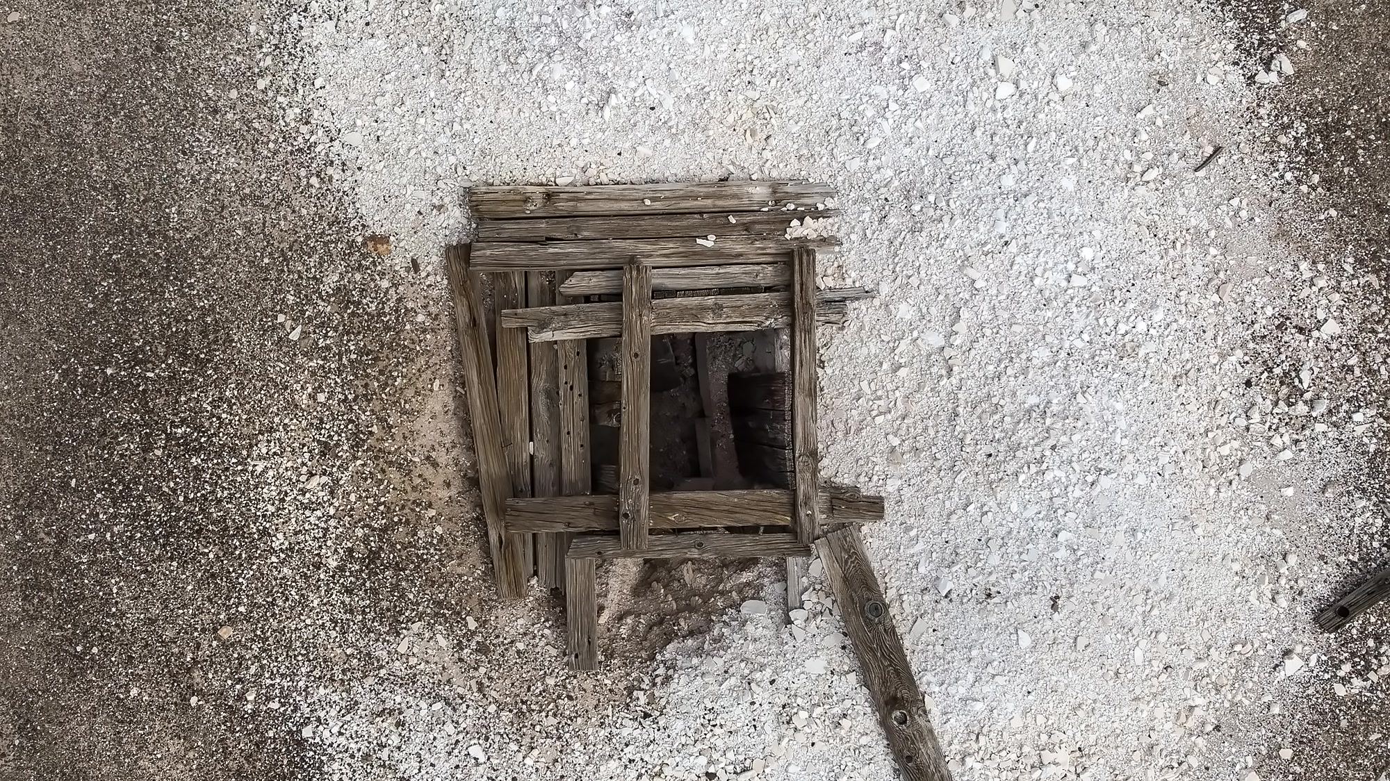
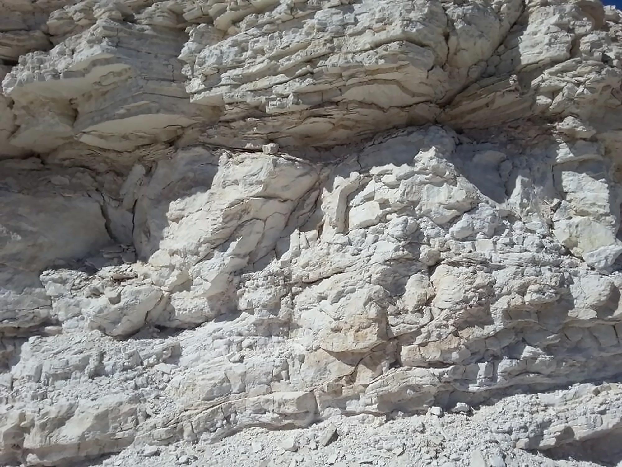
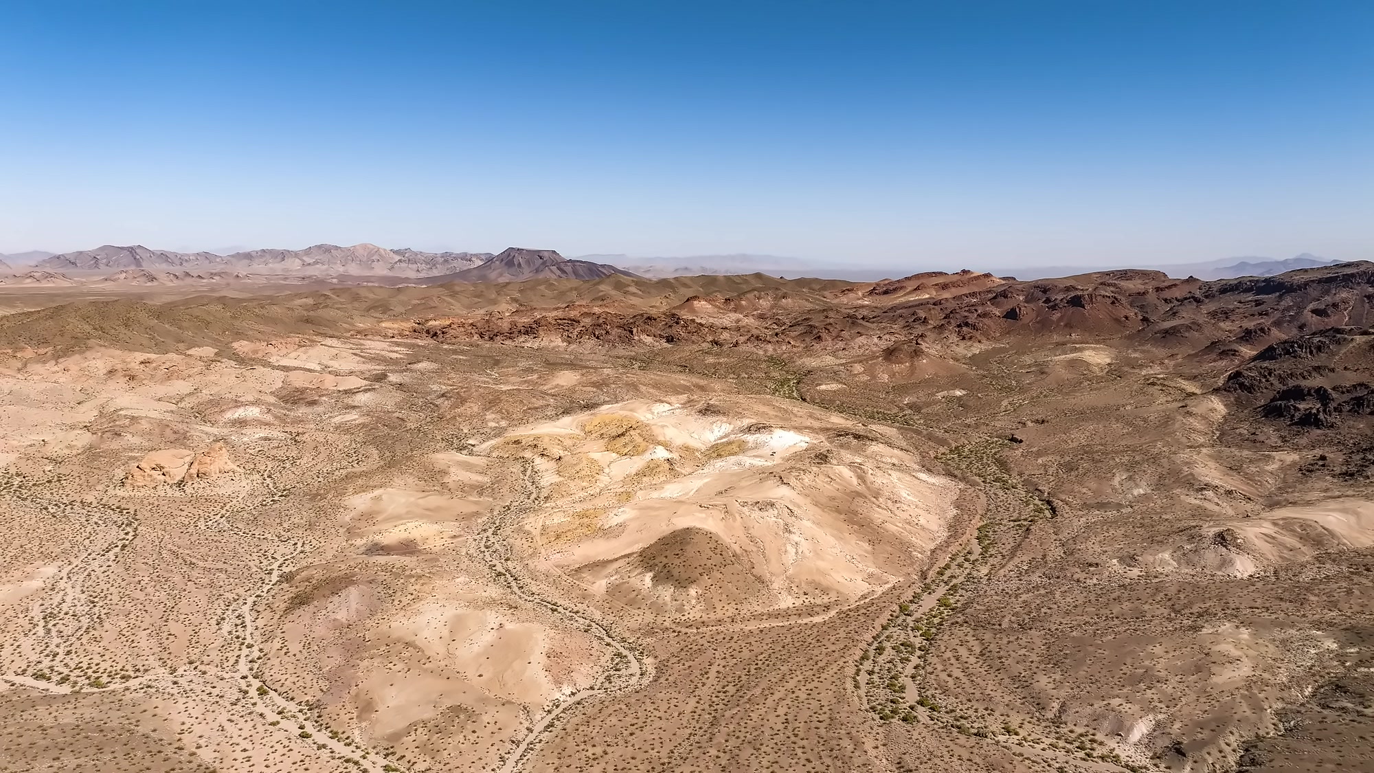
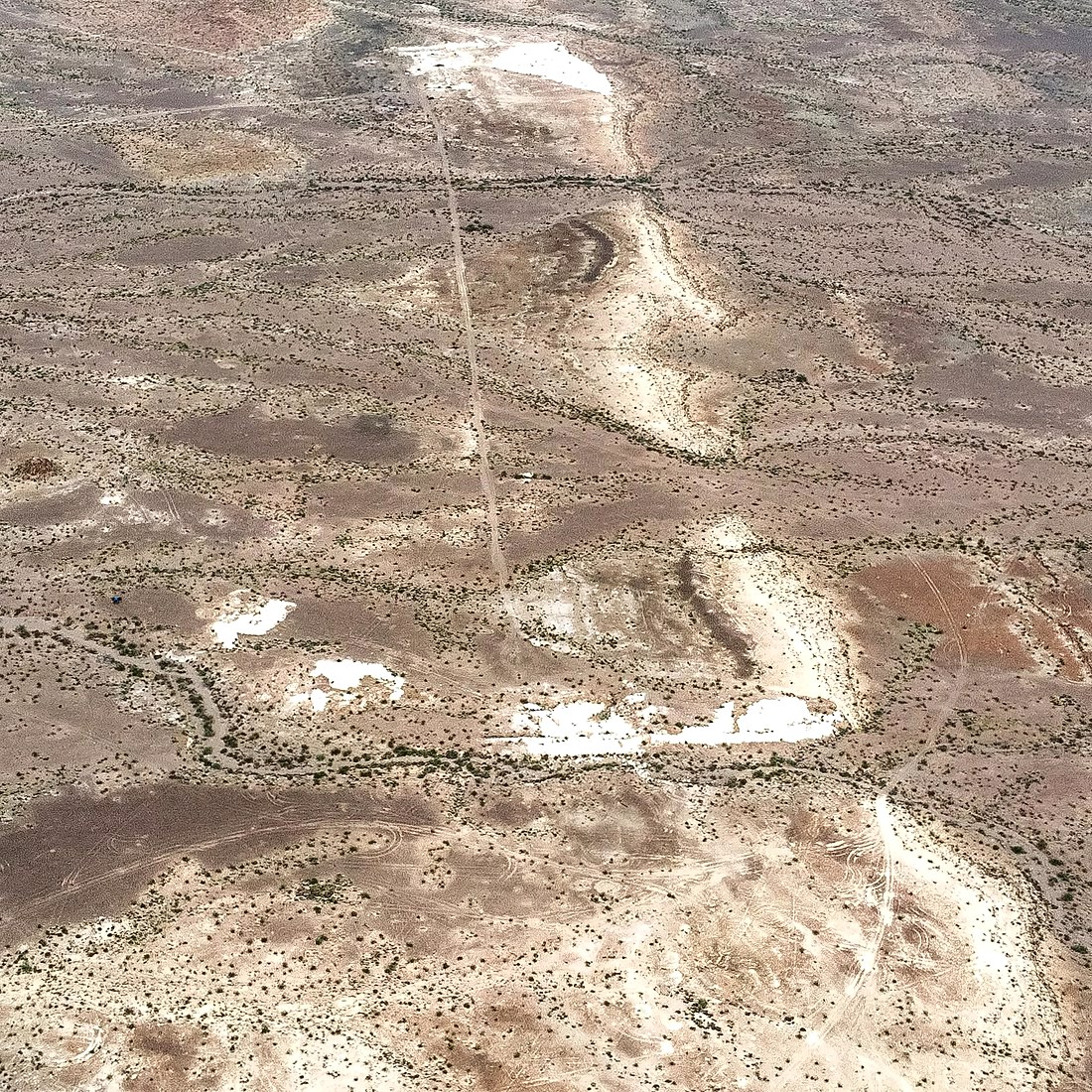
The Whitemoon and El Capitan deposits are bedded sedimentary magnesite deposits ~5 miles apart on the western flank of the Sacramento Mountains. Whitemoon is the better exposed: a shallow lens ~600 ft wide and ~2,400 ft long outcropping at surface. El Capitan is two parallel beds, dipping steeply west, with mapped magnesite occurrences along ~1.5 miles of strike.
The Vitaliano Report (1950, California Journal of Mines and Geology) recorded MgO grades as high as 46.3% against a theoretical maximum of 47.8%, with very low iron (0.05% Fe₂O₃), and estimated 527,000 tonnes at the surface of Whitemoon.
Steve Kupferman’s (Principal Geologist) 2017 report referenced The California Geological Survey (1985) which classified Whitemoon as unusually pure, with approximately 1 million tons of magnesite exposed at surface and additional resources expected at depth.
The Kraemer Report (2020, JORC 2012 Competent Person) expanded the interpreted host area to ~480,000 m², supporting an Exploration Target on the order of 4 million tons, and separately records anecdotal historical accounts suggesting mineralization may extend to 5–10 million tons at depth - historical context only, to be tested by drilling.
Seventy-five years. Four independent reviews. The estimate has only moved up - and no drill hole has ever tested either deposit. Confirming tonnage is the primary objective of Whitemoon’s phase 1 drill program.
Historical estimates are not current Mineral Resources. The Exploration Target is conceptual in nature; there has been insufficient exploration to define a Mineral Resource and it is uncertain whether further exploration will result in one.
Whitemoon
A shallow basin lens, unusually pure.
Mineralization occurs as a thin lens roughly 600 ft wide and 2,400 ft long. Classified by the California Geological Society as unusually pure, with ~1M mt exposed at surface.
El Capitan
Two steeply-dipping beds.
A companion bedded sedimentary magnesite deposit sitting within the same 100%-owned claim block. First mapped by the USGS in 1943, El Capitan shares the geology of Whitemoon and adds meaningful upside to the wider project area.
Simple mining, close to infrastructure.
Magnesite crops out at surface across both deposits, so Whitemoon is designed as a straightforward open-pit operation - no shafts, no dewatering, no underground development.
Open-pit mining
Mineralization starts at grade level under minimal overburden. Drill, blast, load and haul in benches - the simplest, lowest-capital form of hard-rock mining.
Crush and screen
Ore is crushed and sized on site, with established third-party crushing and processing capacity available in the region while the company builds its own plant.
Rail and highway access
The claims sit near interstate highway and Class I rail corridors, giving direct freight access to domestic refractory, construction and metal customers.
Established mining district
San Bernardino County hosts 90+ active mines, with regional power, water, contractors and an experienced mining workforce already in place.
Whitemoon is on the map.
The USGS maps mines and mineral deposits with identified critical mineral resources across the United States. Magnesium is on that critical minerals list, and primary production no longer exists domestically. Whitemoon sits in San Bernardino County, California - inside a USGS critical mineral priority focus area and within the dense southwestern cluster of deposits that define the country’s remaining critical mineral endowment.
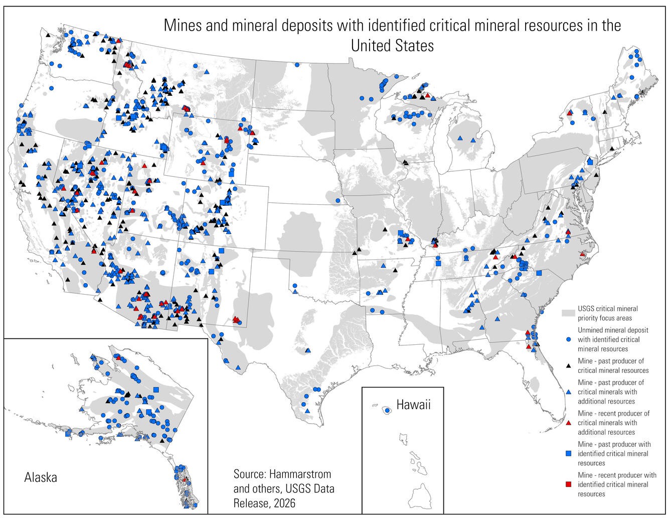
Mines and mineral deposits with identified critical mineral resources in the United States.Source: Hammarstrom and others, USGS Data Release, 2026. Whitemoon location annotated by Whitemoon Magnesium.